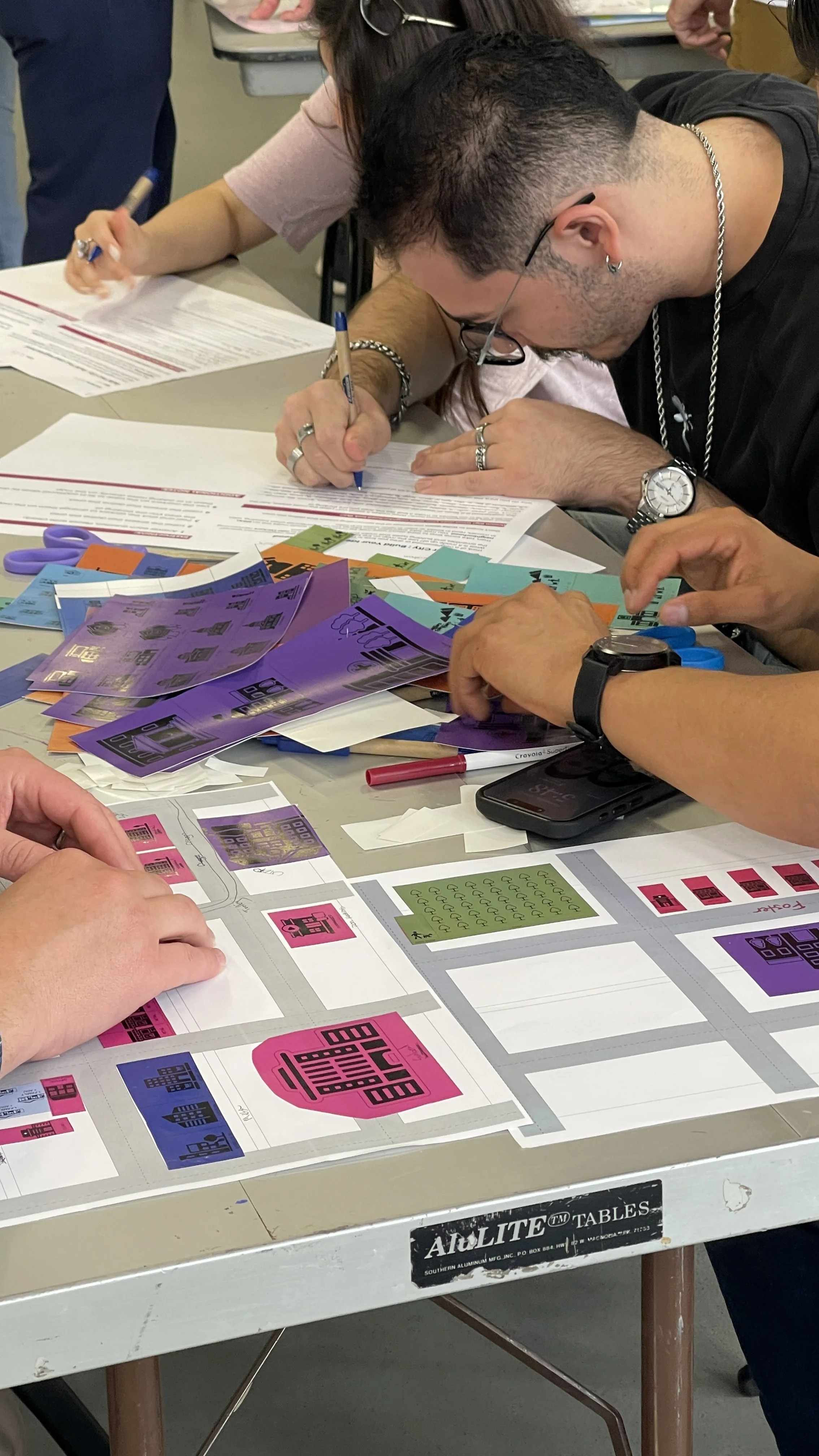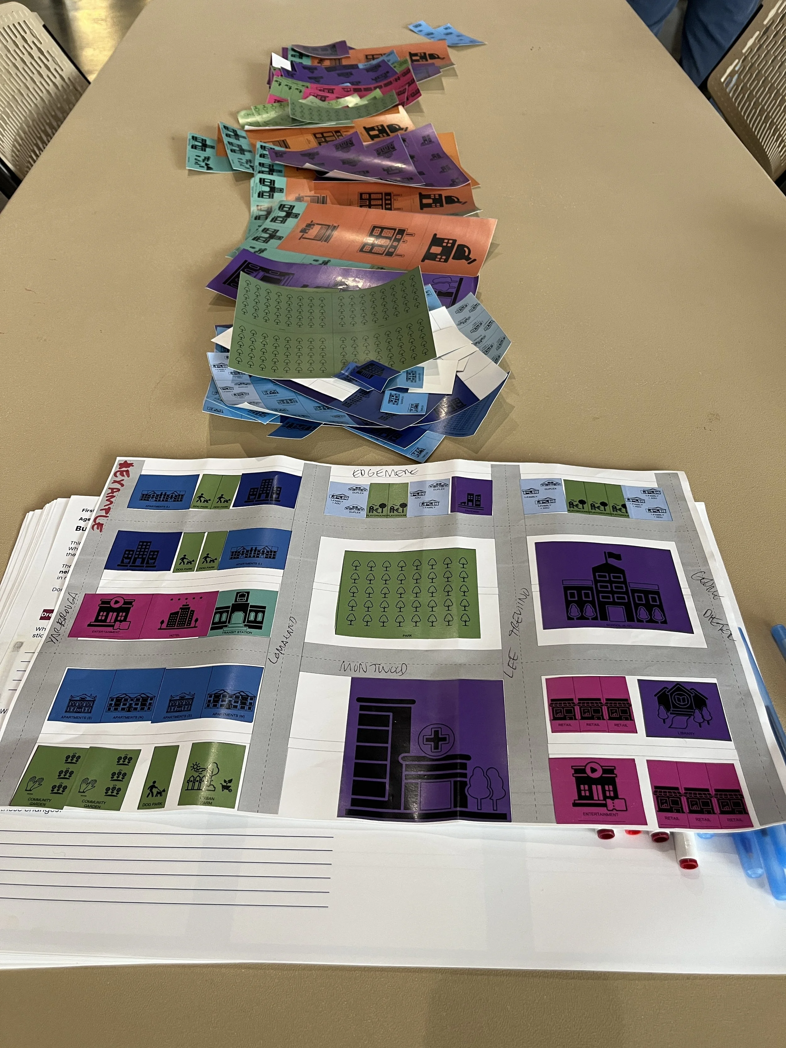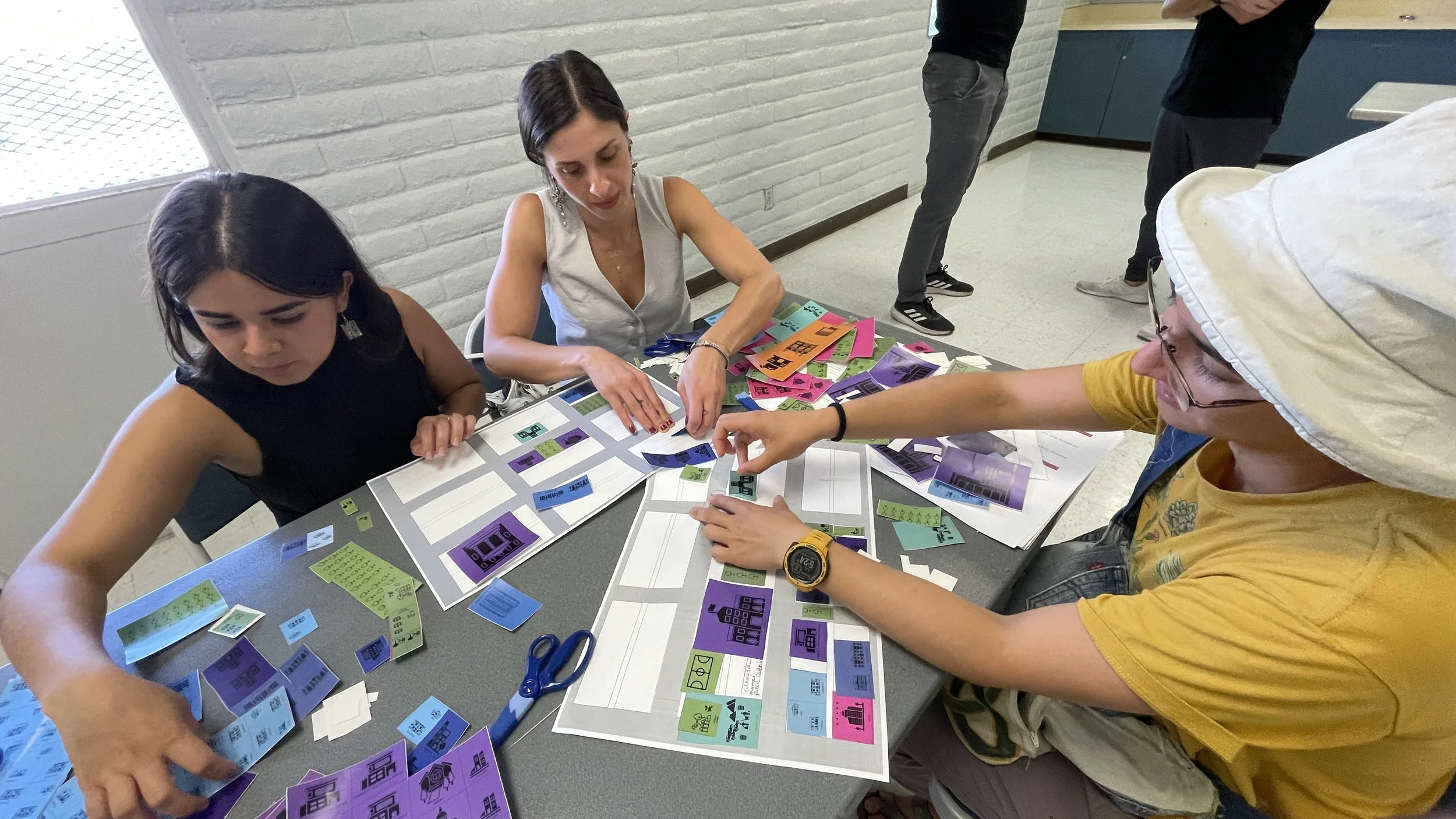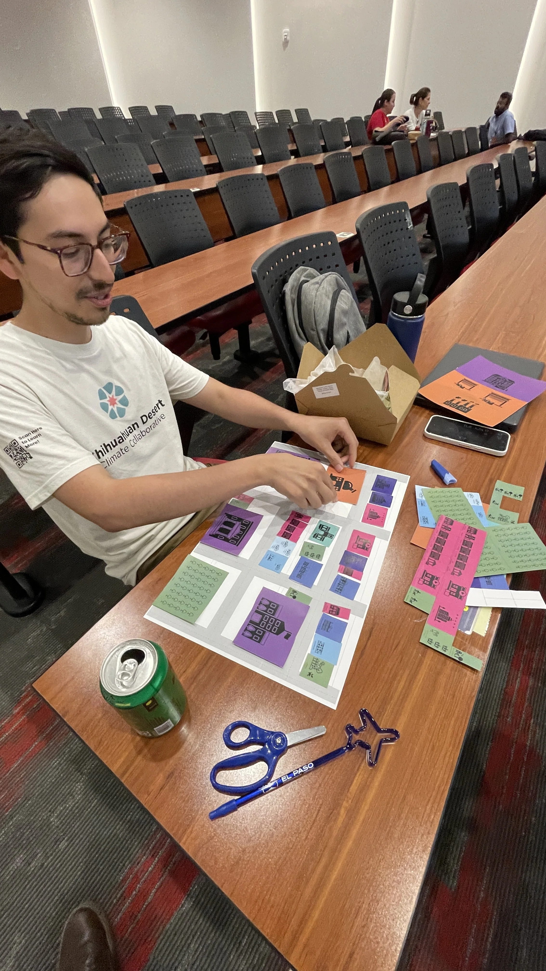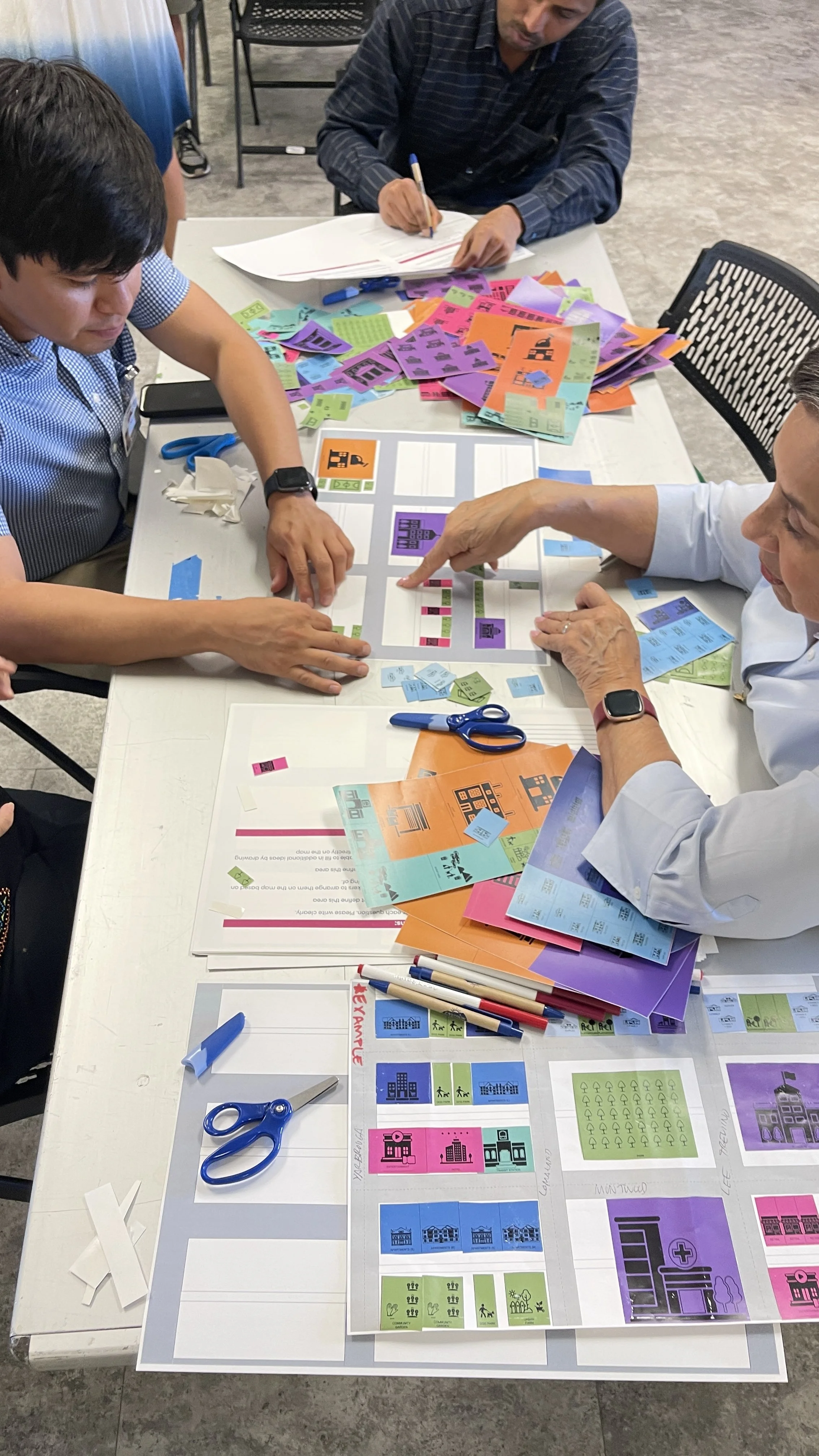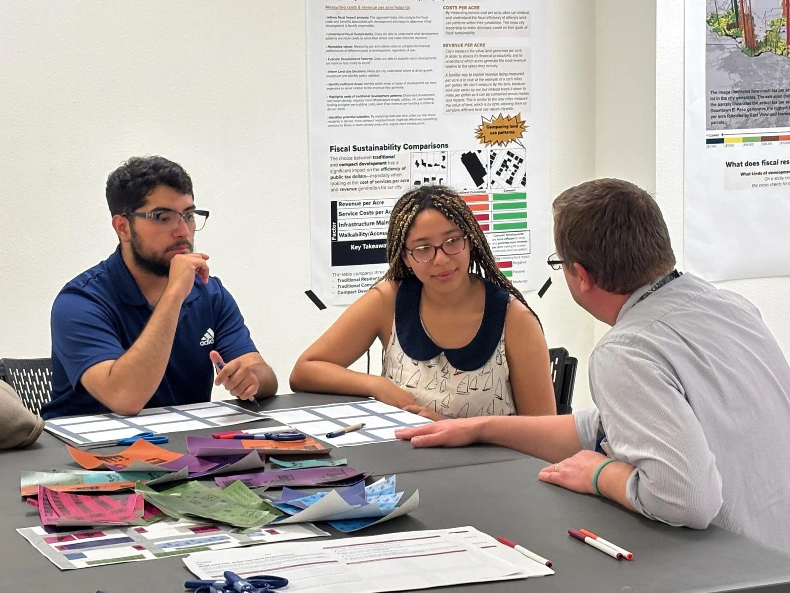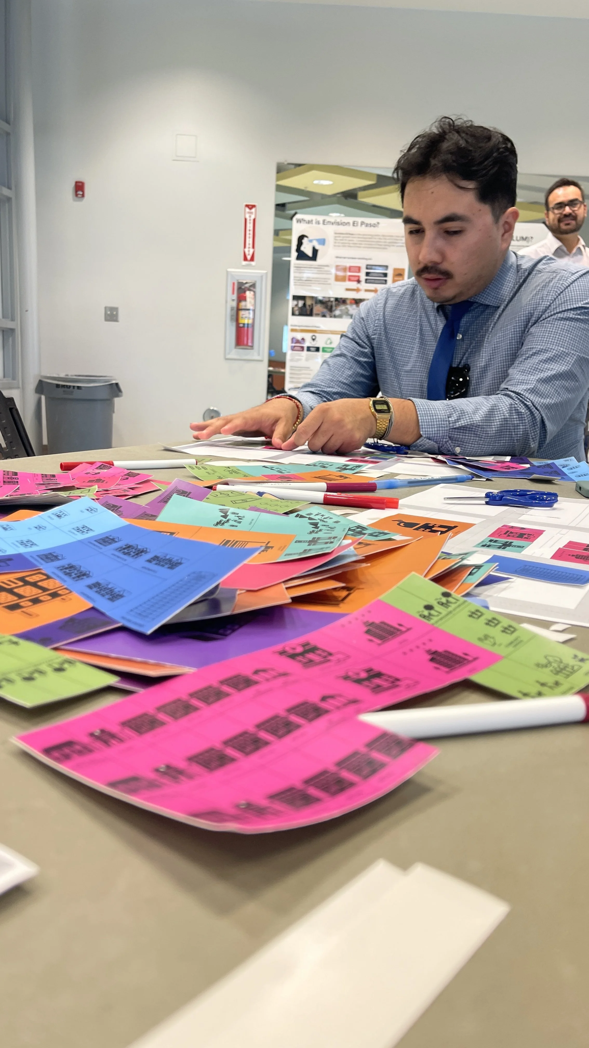
Map Your NeighborhoodThrough the Map Your Neighborhood activity, participants
reimagined their neighborhoods
by proposing the land uses and housing types
best suited to their community's needs.
Engagement and public input for the future land use map began in Summer 2024 and continued through Winter 2026. We started broad with the community, utilizing large-scale city maps to identify priorities and developments and then zeroed in to a neighborhood scale to fine tune the proposed place types and their characteristics. The Map Your Neighborhood activity engaged participants in reimagining their neighborhoods to include different uses and housing types that would best serve their community’s needs. A two-sided worksheet included initial prompts to have participants describe their current neighborhood, what works well and what they would change and the other side having a blank map for them to further contemplate these changes. Color coded stickers with varying icons were used to denote different uses including, housing types, open space, commercial, civic, employment and more. The information gathered from this activity helped to refine the proposed place types for the FLUM.
Map Your Neighborhood was inspired by work done in St. Louis to engage residents on updating their land use plan.